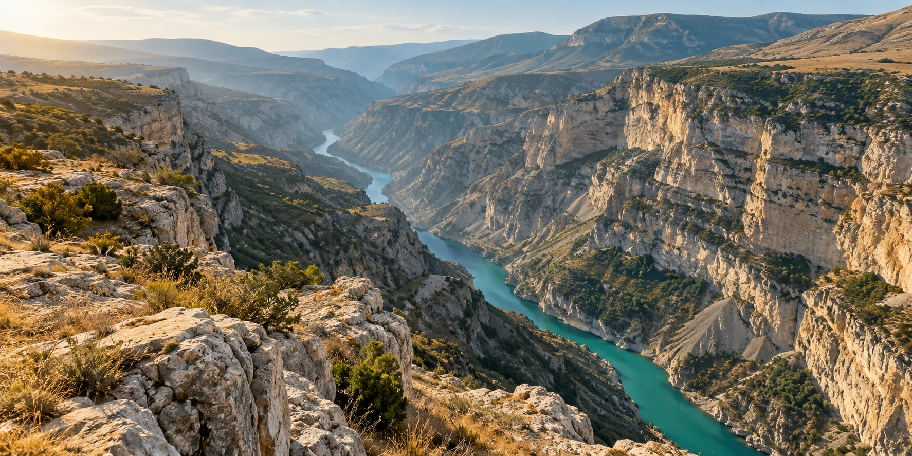
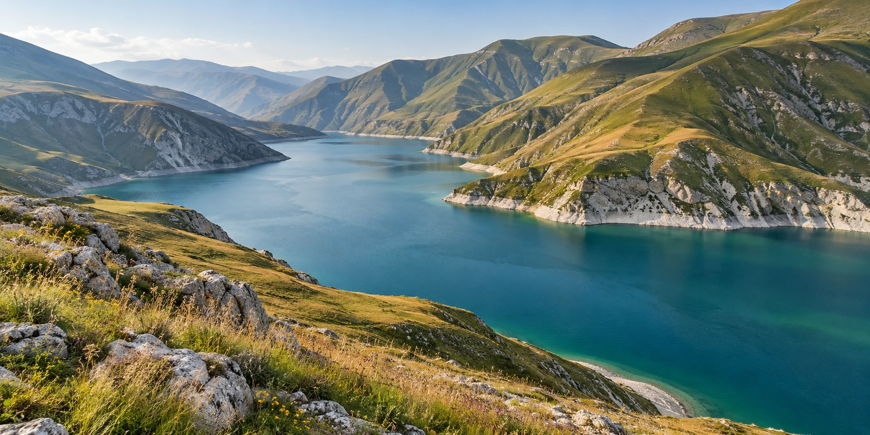
A deep limestone canyon with a turquoise river and dry grassy slopes
Sulak Canyon: interpretation of the landscape · illustration · Artistic illustration

3.26 million

residents as of 1 January 2025, Dagestanstat

50.3 thousand

square kilometres, the area of the republic

2003

year the Derbent monuments were inscribed on the UNESCO list

Geography in Detail

Cities, villages and districts

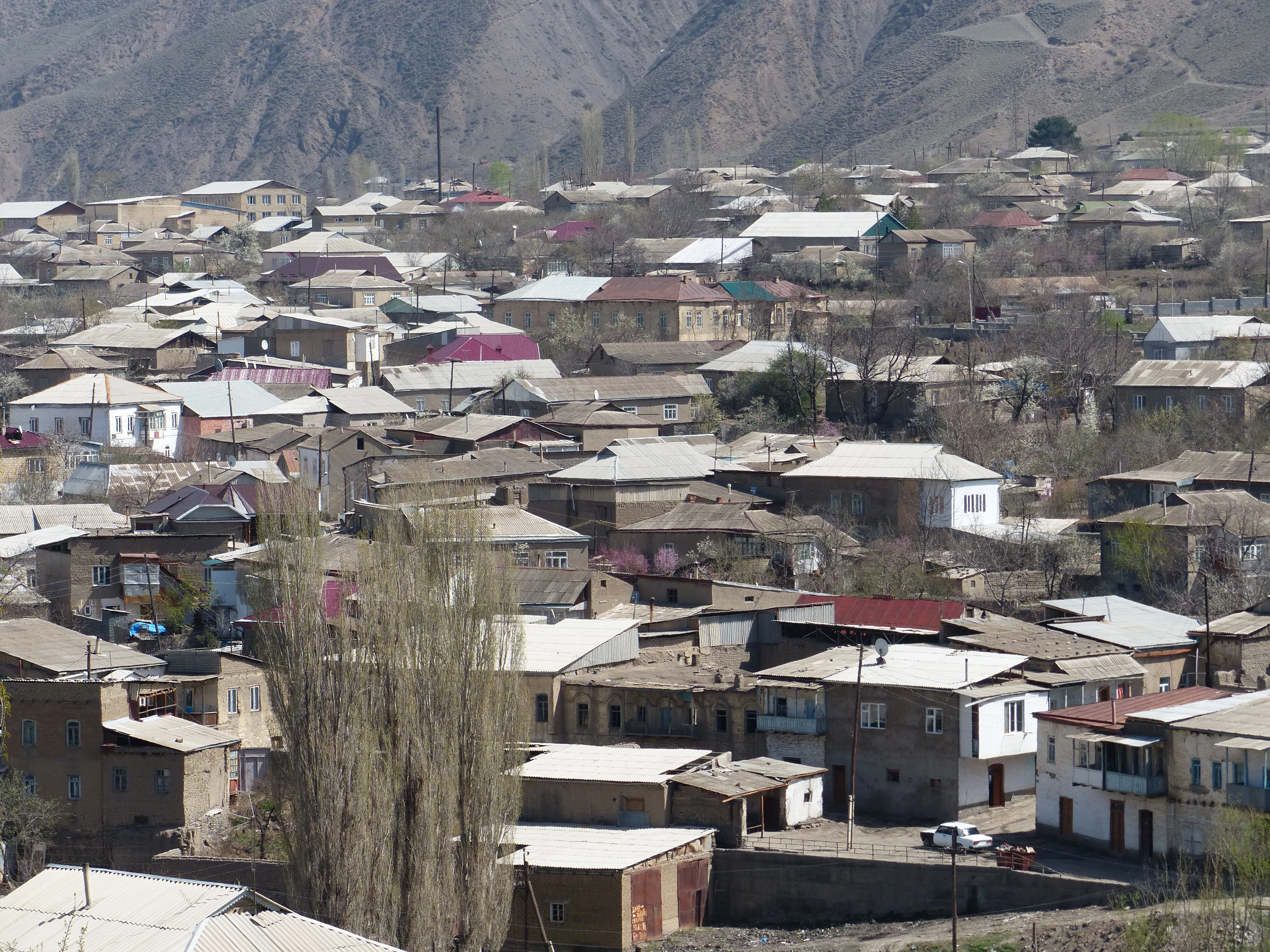
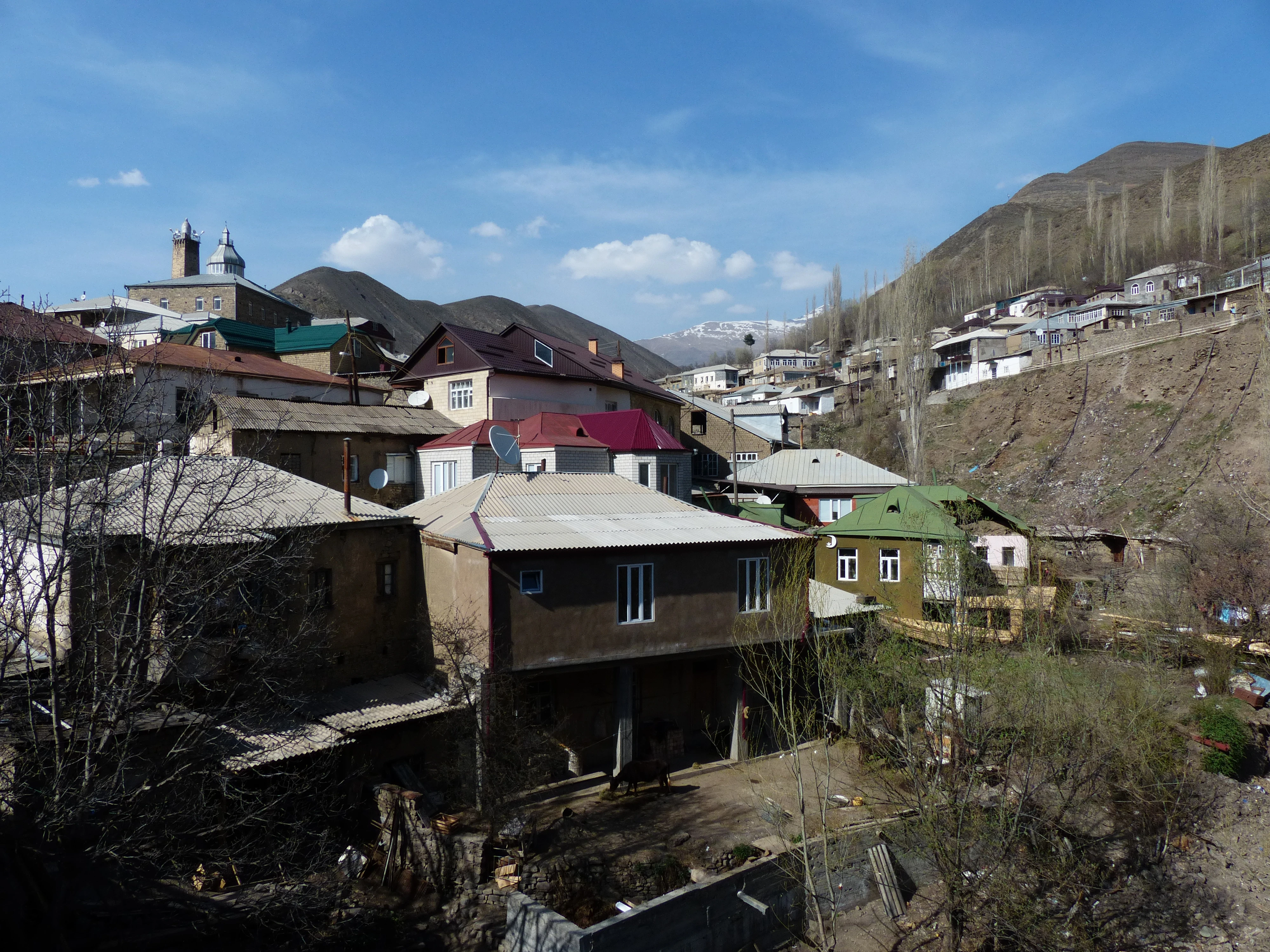
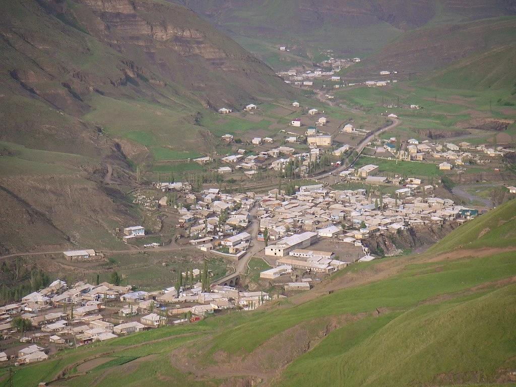
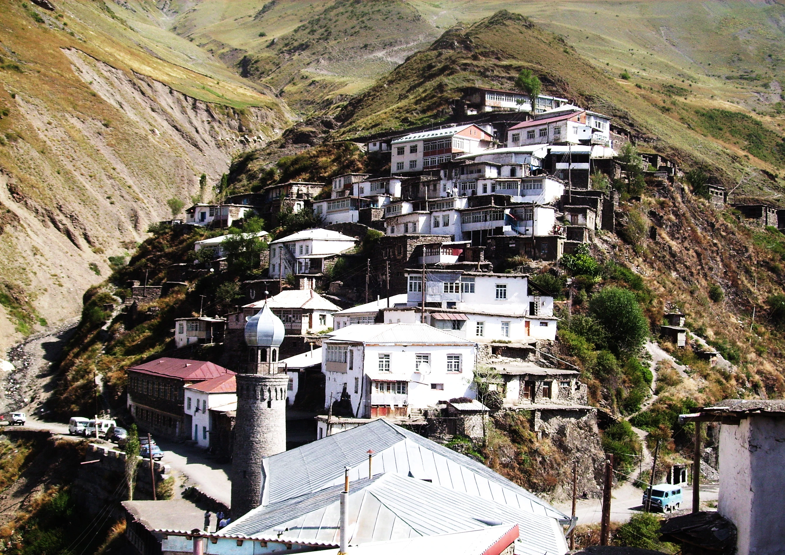
Dagestan comprises 41 administrative districts, ten cities of republican significance, and the Bezhta area within the Tsuntinsky District. The coastal towns, foothill villages, and high-mountain villages form different historical settlement zones.

Settlements
1634
Territories
52

List of populated places as of 8 September 2026. Populated places with the same name in different municipal formations are shown separately. Small populated places without permanent population are also included; population figures are not given here.

Urban okrugMakhachkalaCenter: Makhachkala
Urban okrugBuynakskCenter: Buynaksk
Urban okrugDagestanskiye OgniCenter: Dagestanskiye Ogni
Urban okrugDerbentCenter: Derbent
Urban okrugIzberbashCenter: Izberbash
Urban okrugKaspiyskCenter: Kaspiysk
Urban okrugKizilyurtCenter: Kizilyurt
Urban okrugKizlyarCenter: Kizlyar
Urban okrugKhasavyurtCenter: Khasavyurt
Urban okrugYuzhno-SukhokumskCenter: Yuzhno-Sukhokumsk
DistrictAgulsky DistrictCenter: Tpig village
DistrictAkushinsky DistrictCenter: Akusha village
DistrictAkhvakhsky DistrictCenter: Karata village
DistrictAkhtynsky DistrictCenter: Akhty village
DistrictBabayurtovsky DistrictCenter: Babayurt village
DistrictBotlikhsky DistrictCenter: Botlikh village
DistrictBuynaksky DistrictCenter: Buynaksk
DistrictGergaebilsky DistrictCenter: Gerga village
DistrictGumbetovsky DistrictCenter: Mekhelta village
DistrictGunibsky DistrictCenter: Gunib village
DistrictDakhadayevsky DistrictCenter: Urkarakh village
DistrictDerbentsky DistrictCenter: Derbent
DistrictDokuzparinsky DistrictCenter: Usukhchay village
DistrictKazbekovsky DistrictCenter: Dylym village
DistrictKaytagsky DistrictCenter: Madzhalis village
DistrictKarabudakhkentsky DistrictCenter: Karabudakhkent village
DistrictKayakentsky DistrictCenter: Novokayakent village
DistrictKizilyurtovsky DistrictCenter: Kizilyurt
DistrictKizlyarsky DistrictCenter: Kizlyar
DistrictKulinsky DistrictCenter: Vachi village
DistrictKumtorkalinsky DistrictCenter: Korkmaskala village
DistrictKurakhsky DistrictCenter: Kurakh village
DistrictLaksky DistrictCenter: Kumukh village
DistrictLevashinsky DistrictCenter: village of Levashi
DistrictMagaramkentsky DistrictCenter: Magaramkent village
DistrictNovolaksky DistrictCenter: Novolakskoye village
DistrictNogaysky DistrictCenter: Terekli-Mekteb village
DistrictRutulsky DistrictCenter: Rutul village
DistrictSergokalinsky DistrictCenter: the village of Sergokala
DistrictSuleyman-Stalsky DistrictCenter: Kasumkent village
DistrictTabasaransky DistrictCenter: Khuchni village
DistrictTarumovsky DistrictCenter: Tarumovka village
DistrictTlyaratinsky DistrictCenter: Tlyarata village
DistrictUntsukulsky DistrictCenter: Shamilkala settlement
DistrictKhasavyurtovsky DistrictCenter: Khasavyurt
DistrictKhivsky DistrictCenter: Khiv village
DistrictKhunzakhsky DistrictCenter: Khunzakh village
DistrictTsumadinsky DistrictCenter: Agvali village
DistrictTsuntinsky DistrictCenter: Tsunta village
DistrictCharodinsky DistrictCenter: Tsurib village
DistrictShamilsky DistrictCenter: Khebda village
An area within Tsuntinsky DistrictBezhtinsky AreaCenter: Bezhta village

Geography and population

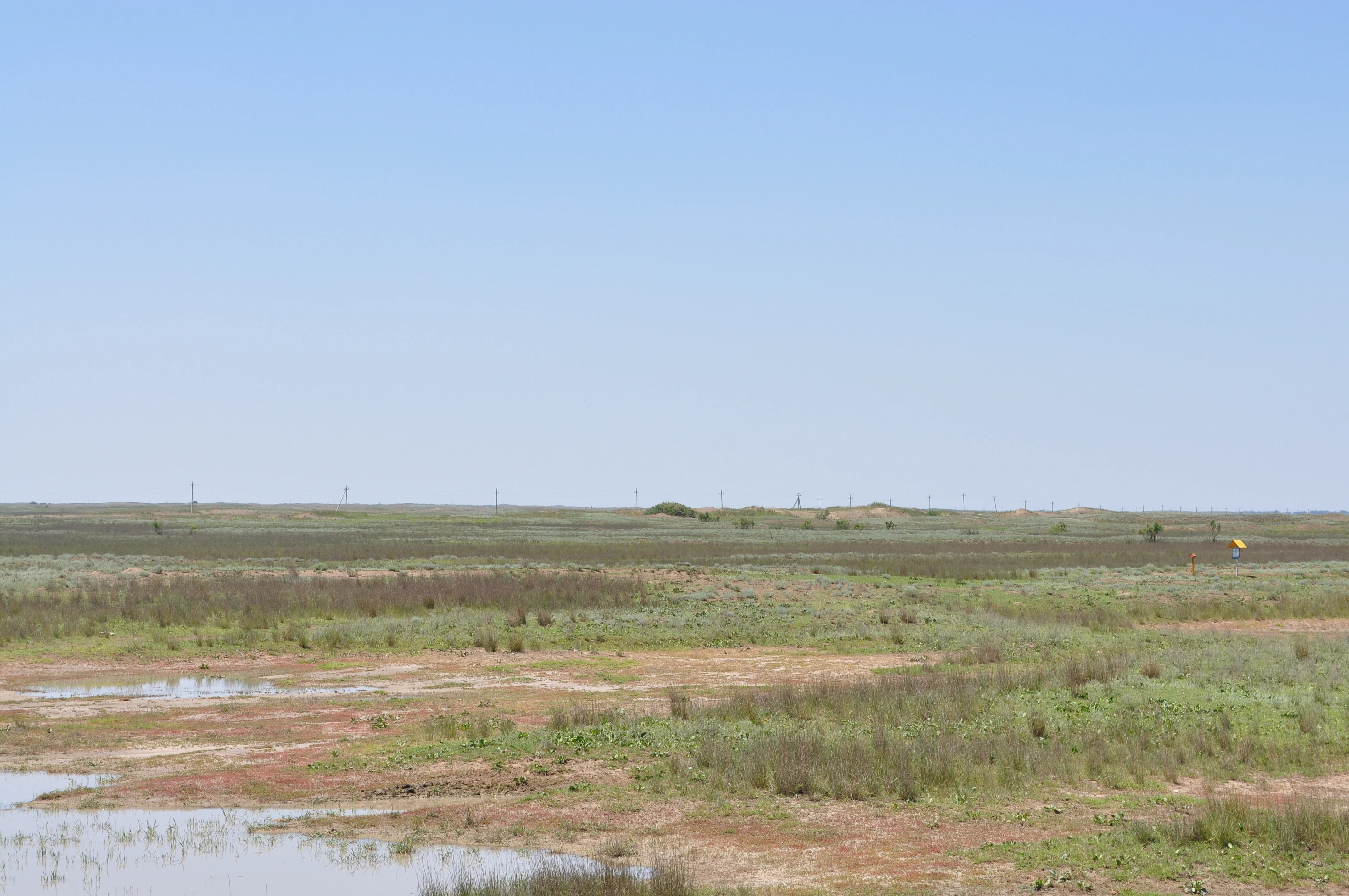
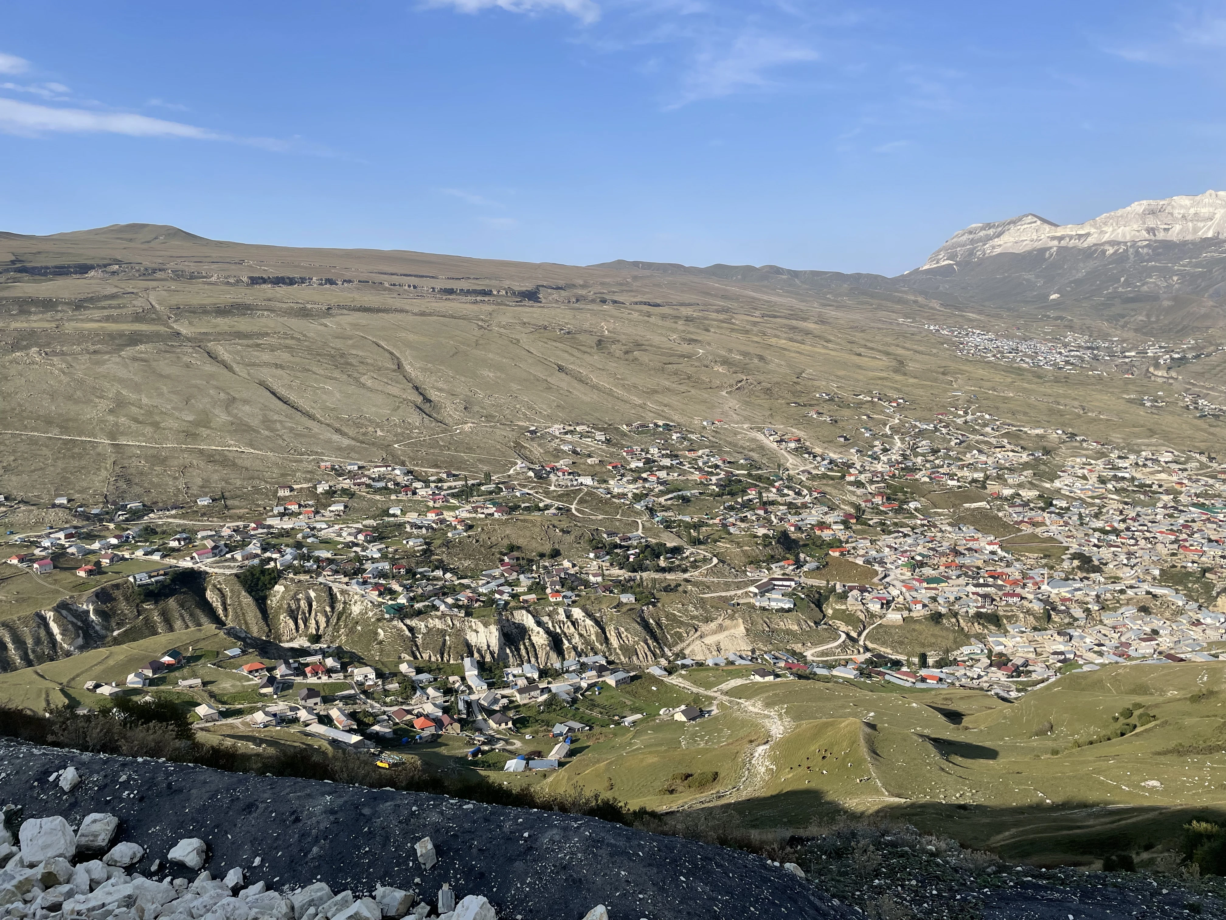
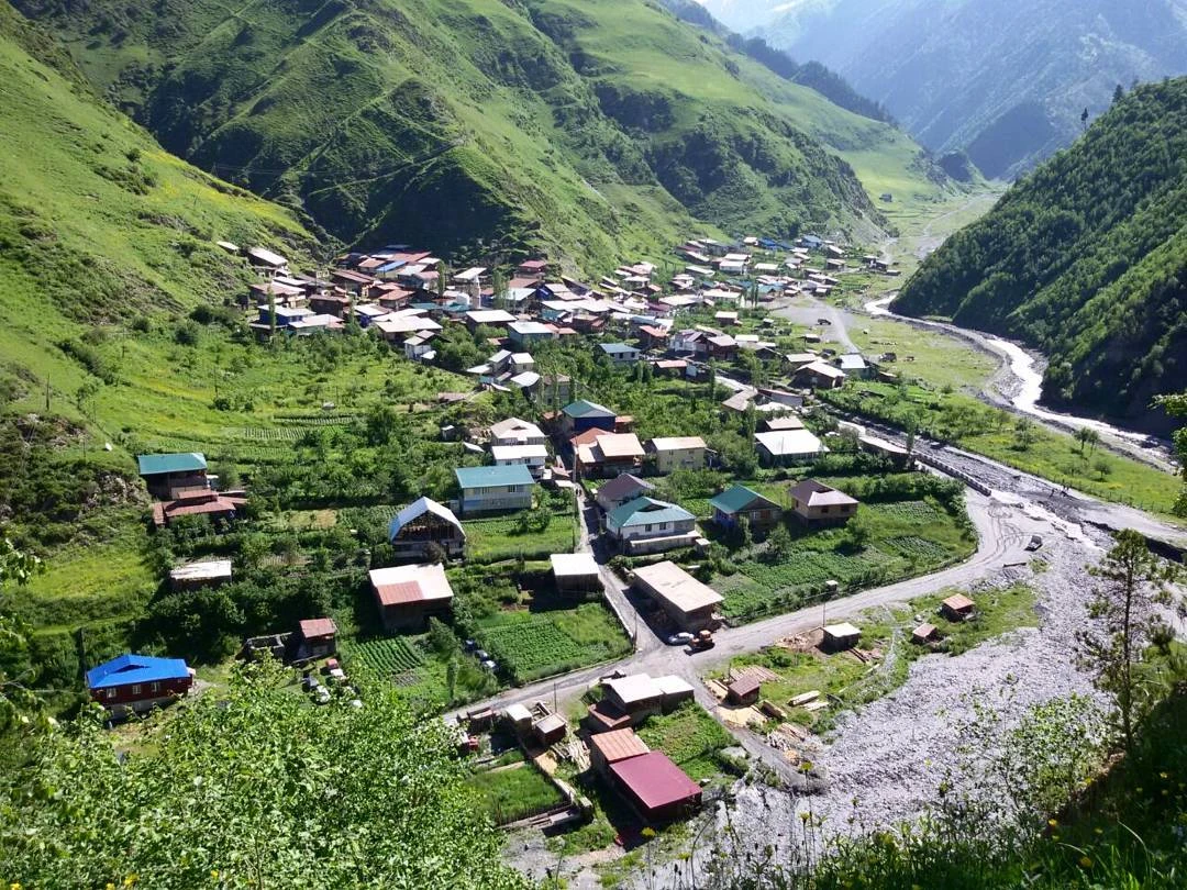
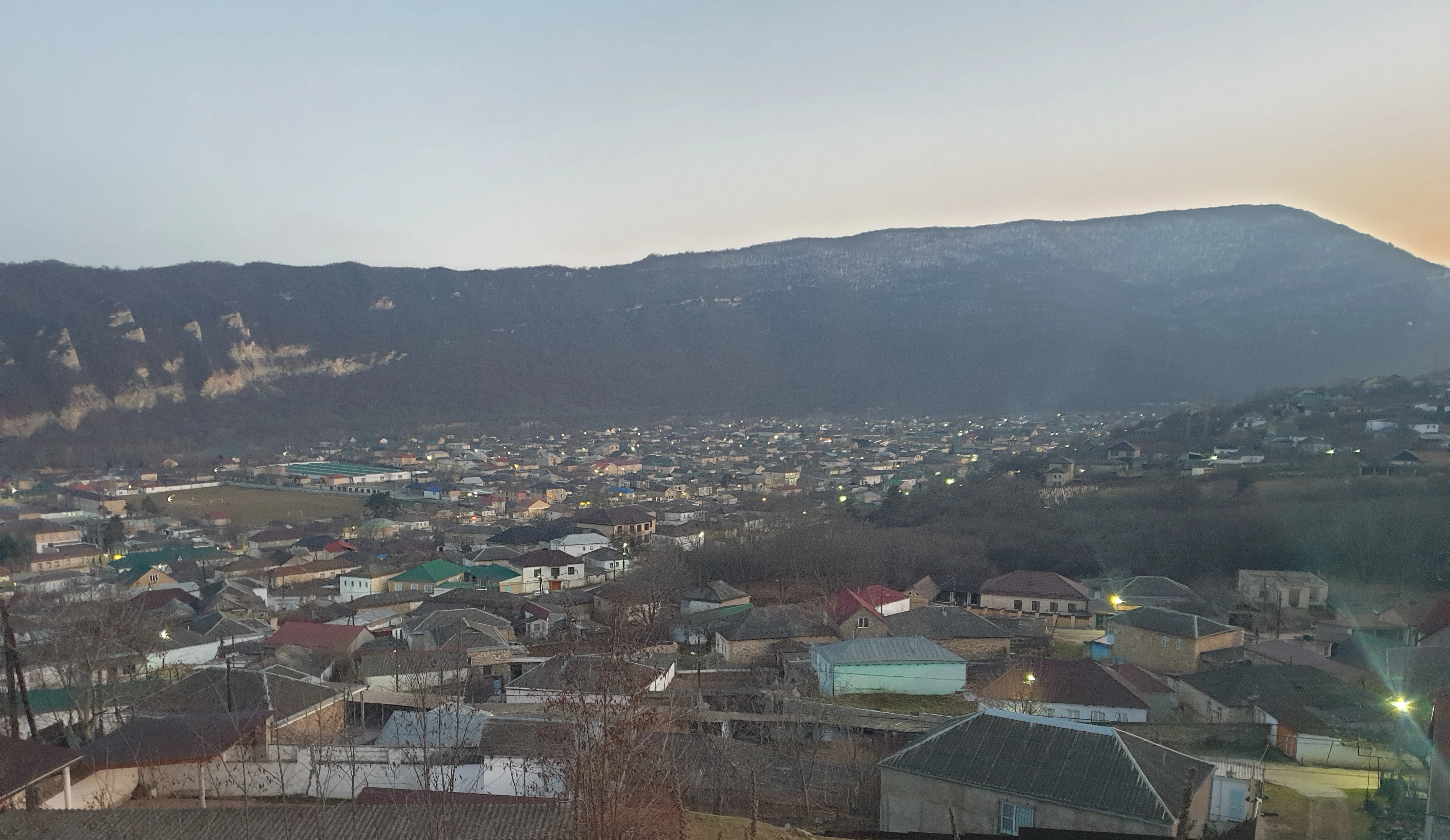
The republic is located in the eastern part of the North Caucasus, on the western shore of the Caspian Sea. Its area is 50.3 thousand km²; the administrative centre is Makhachkala. Mountain, foothill and plain landscapes coexist within the region, so Dagestan should not be imagined solely as a high-mountain territory. The estimate of the permanent population as of 1 January 2025 is 3,259,890 people, of whom 1,473,304 are urban and 1,786,586 rural residents. The date matters: this is an inter-census estimate by Dagestanstat, not data from the 2021 census. The Sulak Canyon cuts through limestone mountains; its name is entered in the State Catalogue of Geographical Names. Other natural areas of the region include the Sarykum sand massif and the shallow waters of the Kizlyar Bay, protected by the Dagestansky Nature Reserve. These are different ecosystems, not parts of a single mountain landscape. ; .

Peoples of the region

Linguistic and cultural diversity

Andian peoples
The Andians, Akhvakh, Bagvalal, Botlikh, Godoberi, Karata, Tindi and Chamalal speak related but distinct languages. They cannot be reduced to a single local dialect.
Tsezic peoples
The Tsezic group includes the Tsez, Bezhta, Hinukh, Hunzib and Khwarshi languages. Tsez is also known as Dido and Tsuntin.
Dargin languages
Behind the common name "Dargin" lies a group of closely related idioms. Literary Dargin and the local languages and dialects should not be regarded as fully interchangeable.

Languages

Nakh-Dagestanian

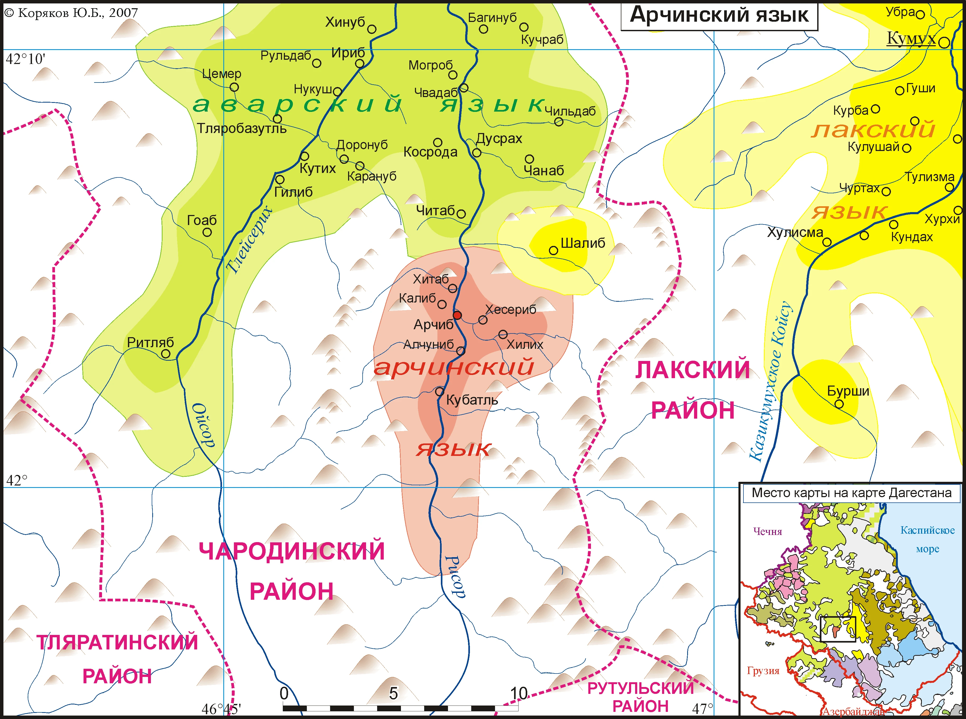
Avar, the languages of the Dargin group, Lak, Lezgian, Tabasaran, Agul, Rutul, Tsakhur, Archi, the Andian and Tsezic languages, as well as Chechen. This is a language family, not the name of a single language. ; ; .

Turkic

Kumyk, Nogai and Azerbaijani belong to the Turkic languages. Kumyk is spoken primarily on the plain and in the foothills. The Nogai linguistic tradition is especially associated with the north of the republic, but is not limited to it. ; .

Indo-European

Russian belongs to the Slavic languages. Juhuri, also called Mountain Jewish and Judeo-Tat, belongs to the Iranian group; its historical area includes Derbent and southern Dagestan. The names "Tats" and "Mountain Jews" cannot automatically be considered designations of a single community.

Languages: status and everyday life

Article 11 of the Constitution of the Republic of Dagestan designates Russian and the languages of the peoples of Dagestan as state languages. The article itself does not contain a closed list of 14 languages. Therefore that number is not used here as an exact constitutional formula. The number of literary languages, languages of school instruction and independent languages in linguistic classification may differ. Russian is used for interethnic communication, but this does not abolish native languages and the multilingualism of families. The Andic and Tsezic languages, Juhuri and the languages of the Dargwa group require separate description. An aggregated statistical entry does not prove the absence of a separate language. ; .

Other communities of Dagestan

The list of cards above reflects the published articles of the portal, not an exhaustive list of the inhabitants of Dagestan. Ethnic affiliation is determined by a person's self-identification. Linguistic classification and aggregated statistical categories do not replace the names of individual peoples.
Azerbaijanis
Historical communities of Derbent and southern Dagestan; a separate article about this people is available on the portal.
Chechens, including the Akkin
Part of the multinational population of the republic, primarily its north-western plain zone; a separate article is available on the portal.
Russians
Urban and rural communities; the Russian population and Cossack communities have different, though related, historical traditions.
Mountain Jews
A distinct historical and cultural community. Its linguistic heritage is linked to Juhuri, and its religious tradition to Judaism.

History

Text size
Text size: 100%

Chapter 1 · Early Palaeolithic

The first traces of humans

The sites of Aynikab, Mukhkay and Gegalashur in the Akusha district are among the most important Early Palaeolithic monuments of the Caucasus. Stone tools and layers of ancient habitation surfaces have been studied here. In a 2021 publication by Kh. A. Amirkhanov, the sequence of sites in Central Dagestan is considered within a range of approximately 2 million to 800 thousand years ago.
These are dates for archaeological complexes, not the age of modern peoples or settlements. The name of the present-day republic is used here only to indicate the location of the finds.
Page 1 of 1in chapter 1

A brief historical outline. References to scholarly research and documents are given in the chapters and in the “Materials” section. The modern borders of the republic should not be projected onto ancient states and societies.

Religious heritage

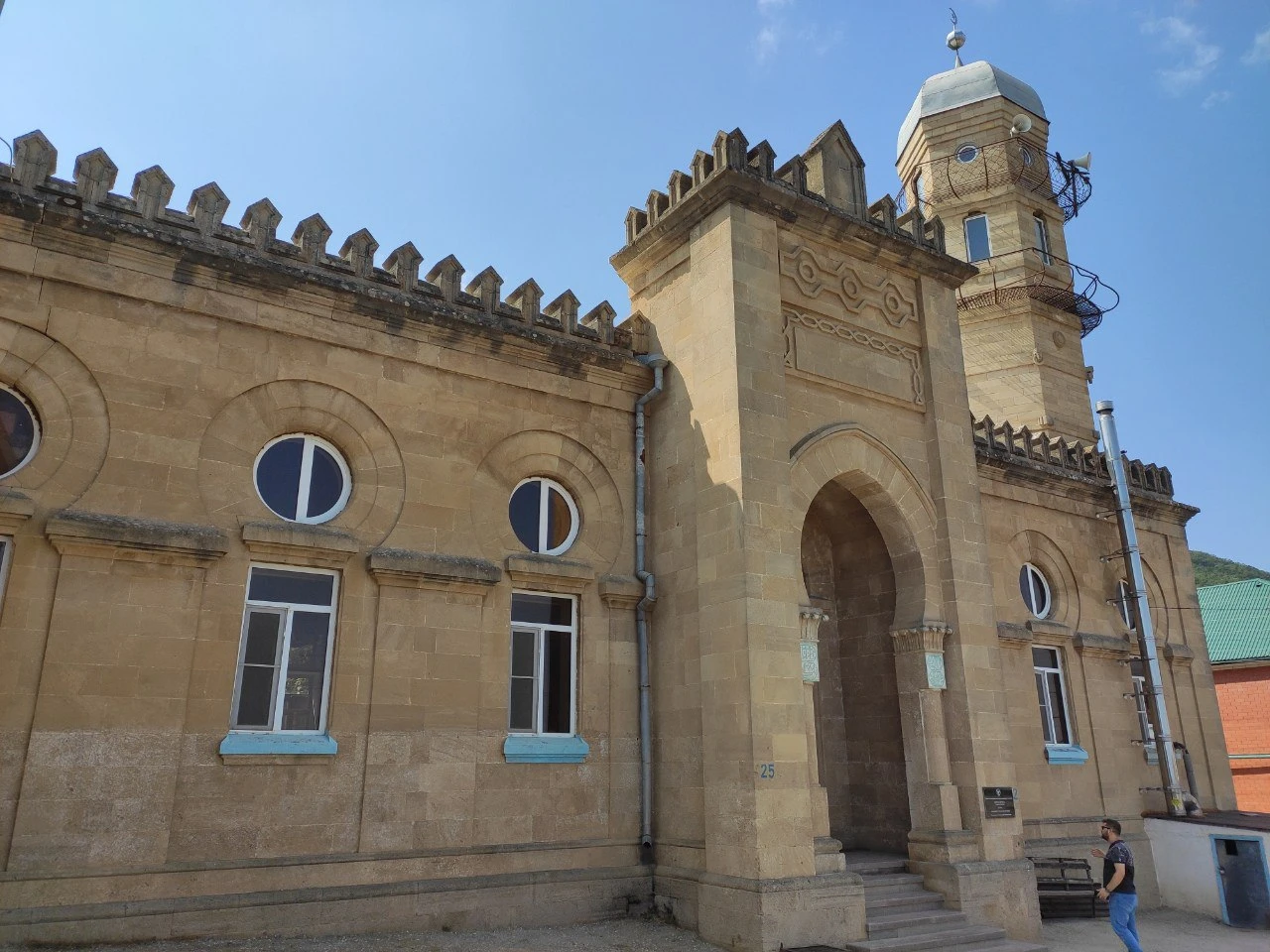
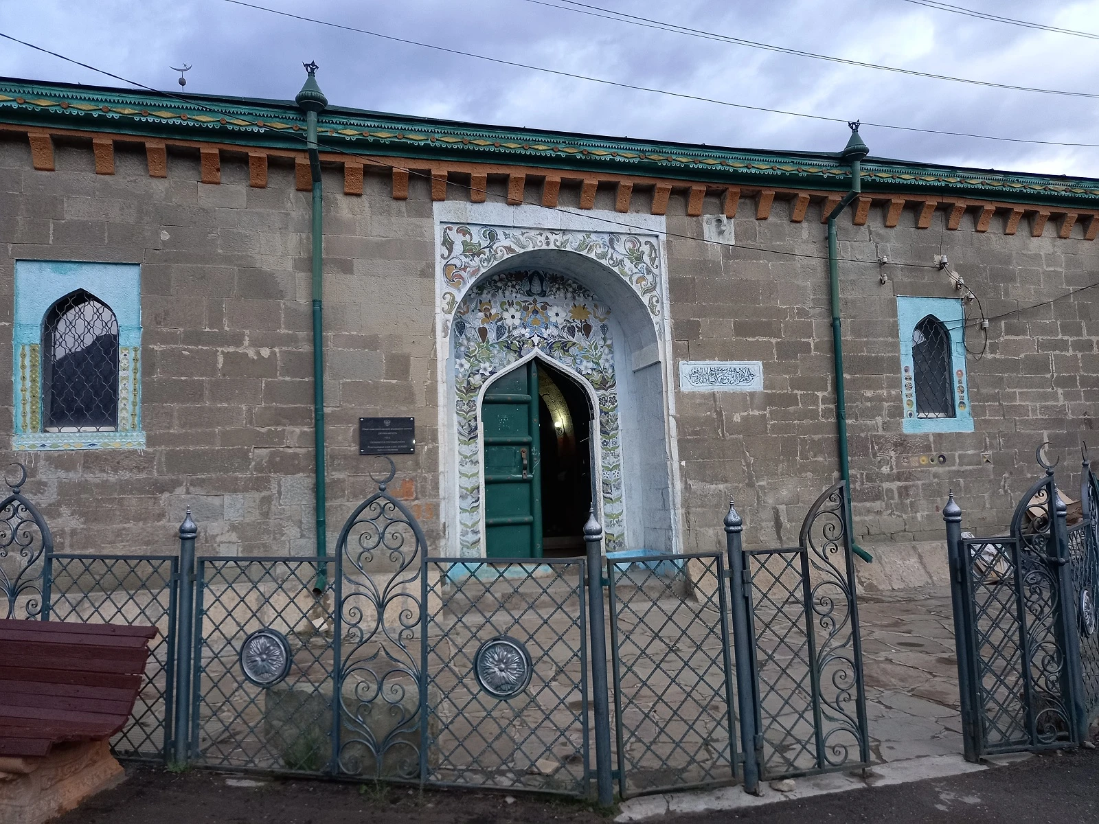
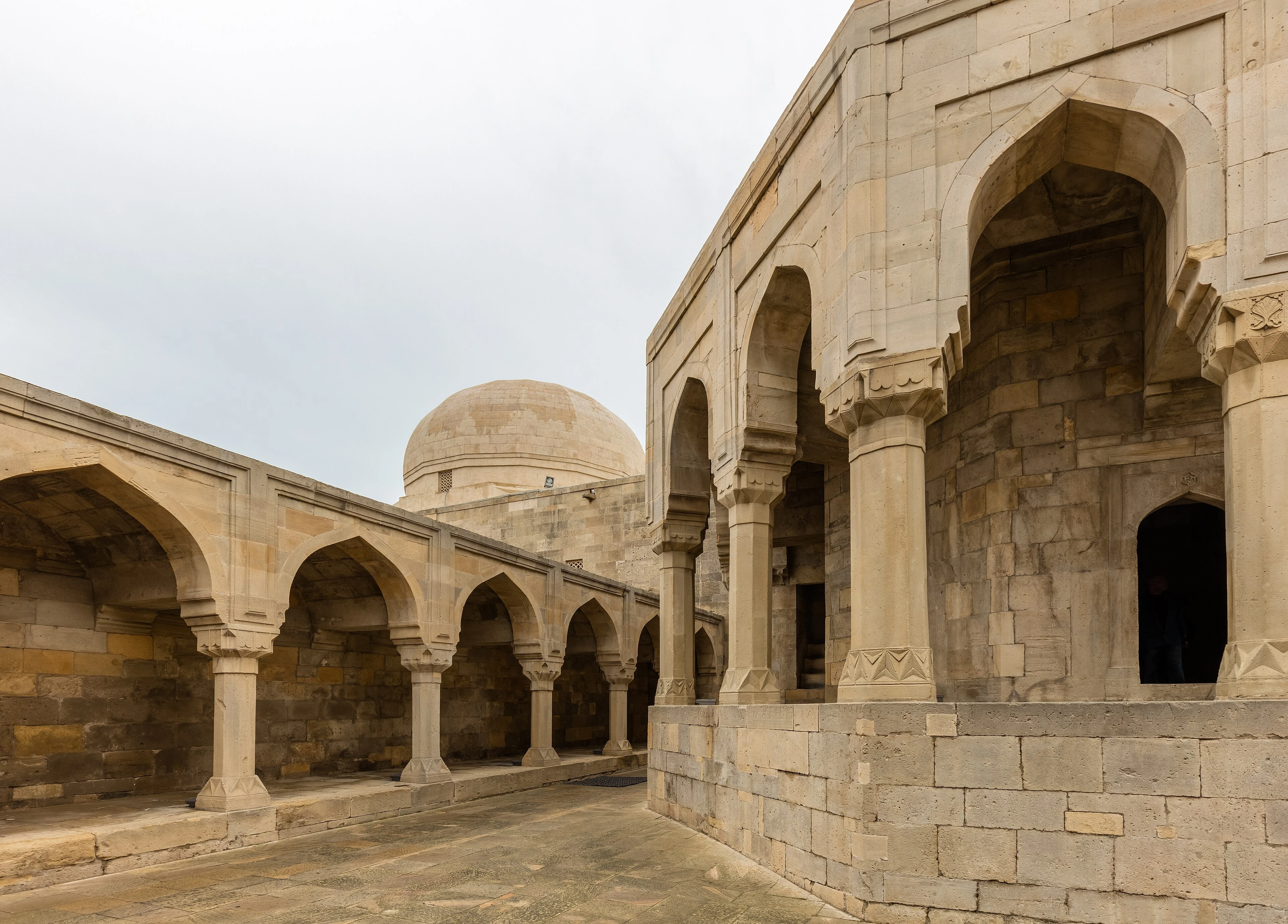
The religious history of Dagestan includes Islamic, Christian and Jewish traditions. In Derbent they are represented by specific monuments: the Juma Mosque, the Kele-Numaz Synagogue and the Armenian Church of the Holy All-Saviour. Studying them helps to see the history of different communities rather than reducing the region's heritage to a single faith. The Derbent Museum of the History of World Cultures and Religions includes these sites in its educational routes. A person's belonging to a people does not in itself determine their personal beliefs.

Crafts and everyday culture

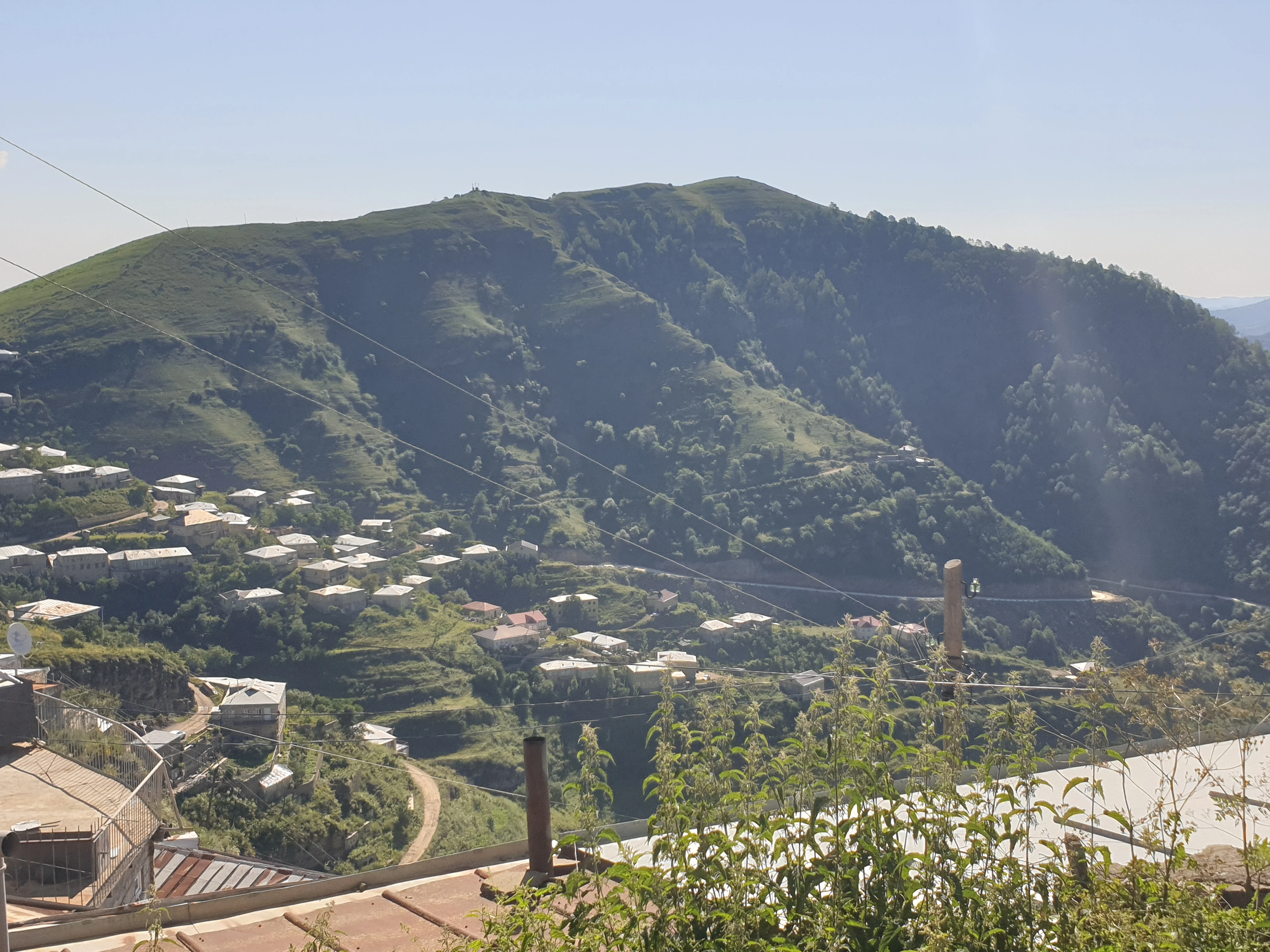
Kubachi is known for artistic metalwork, Gotsatl for silversmithing, Untsukul for ornamental wood inlay, and Balkhar for painted ceramics. Southern Dagestan is associated with diverse carpet-weaving traditions. These names designate real production centres with different techniques, not a single “Caucasian ornament”. Historical costumes, household objects and the layout of villages should be considered with regard to people, place and time. For comparison with the present, the album of expedition photographs by A. K. Serzhputovsky from 1910 in the collection of the Russian Museum of Ethnography is useful. It has museum attribution and is not replaced by generated scenes of the past.

Cuisine of the peoples of Dagestan

The shared regional cuisine is made up of many local traditions. Among the well-known dishes are khinkal, chudu and kurze; methods of preparation and names differ between peoples, villages and families. Khinkal usually combines boiled dough, meat, broth and sauces, while chudu have various fillings and dough thicknesses. Ethnographic studies of urban food culture show the mutual influence of local cuisines and changes in everyday menus. Therefore a single restaurant recipe cannot be declared obligatory and the only authentic one for all of Dagestan.

Media

Landscape of Dagestan

Landscape image. This is an interpretation of the Sulak Canyon, not a documentary photograph of a specific location. Authentic historical photographs are available via the link to the Russian Museum of Ethnography below.

Anthem

State Anthem of the Republic of Dagestan

Russian

Words: Rasul Gamzatov; Russian text: Nikolay Dorizo. Music: Murad Kazhlaev. Law on the State Anthem as amended on 9 March 2016; the approved text is given in Appendix No. 2.

The State Anthem is performed in the approved musical and textual version. The text and musical notation are published in the appendices to the law on the anthem. They can be opened via the link “Official text”.

Timeline

Events: 7 / 7

About 2 million years ago
Early stone tool assemblages of Central Dagestan. The dates refer to archaeological layers, not to the age of modern peoples.
5th–6th centuries
Construction of the Sasanian system of stone fortifications at Derbent, which controlled the passage along the western shore of the Caspian Sea.
1834
The election of Shamil as imam; the development of the imamate over part of the territory of Dagestan and Chechnya.
1860
Formation of the Dagestan Oblast of the Russian Empire. Its borders differed from those of the present-day republic.
20 January 1921
Decree of the All-Russian Central Executive Committee on the Autonomous Dagestan Socialist Soviet Republic.
10 July 2003
Adoption of the current Constitution of the Republic of Dagestan by the Constitutional Assembly.
2003
Inscription of the citadel, the old town and the fortress structures of Derbent on the UNESCO World Heritage List.